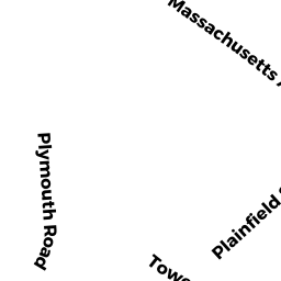
29 TOWER RD
Owner Information
COHEN MATTHEW S & COHEN JULIANA F W
29 TOWER RD
LEXINGTON, MA 02421


Property Details
29 TOWER RD is classified as a Single Family Residential.
The primary structure on this property was built in 1870. There are 4,805ft2 of built area within this property.
29 TOWER RD is valued at $1,199,000. The land is valued at $681,000 and the structures are valued at $518,000.
This property is in Zone RS. Confirm with local Zoning Board authorities to ensure there are no overlays or other easements on this property.
The most recent deed for 29 TOWER RD is recorded at the local registrar in Book 69808, Page 0451. 29 TOWER RD was last sold on Tuesday, August 22, 2017 for $10.
Assessment data from fiscal year 2022.
Flood Data
According to the FEMA National Flood Hazard Layer, this property does not appear to be in a flood zone. It may also be in an area not yet reviewed. Nonetheless, confirm this information prior to taking any action.
To view the flood hazards around this property, create a FEMA "Firmette" Map of the area around 29 TOWER RD.
Broadband Internet Providers
| Provider | Type | Bandwidth (mbps) | |
|---|---|---|---|
| GCI Communication Corp. | Satellite | 0 | 0 |
| HughesNet | Satellite | 25 | 3 |
| VSAT Systems, LLC. | Satellite | 2 | 1 |
| Viasat Inc | Satellite | 100 | 3 |
| Verizon New England Inc. | Fiber | 940 | 880 |
| Comcast | Cable | 1000 | 35 |
| RCN | Cable | 500 | 20 |
Broadband service provider data from December 2020.
Adjacent Properties
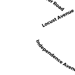
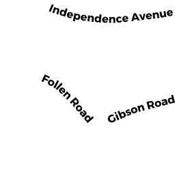
- 37 INDEPENDENCE AVE
Single Family Residential owned by LEW ROBERT A & WRIGHT ELIZABET - 35 INDEPENDENCE AVE
Single Family Residential owned by GOLDSTEIN MARIE TRUSTEE - 33 TOWER RD
Single Family Residential owned by EUGENE T PONG TRUST & - 18 LOCUST AVE
Single Family Residential owned by KINNEY DENNIS K & - 22 LOCUST AVE
Single Family Residential owned by PRESSMAN ROBERT P &